-
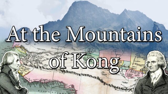
After the publication of Rennell’s map the mountains rose up on a series of other works – forty, in fact, have been found by the American academics Thomas Bassett and Philip Porter to bear the Kong falsity. Aaron Arrowsmith’s Africa Atlas (London, 1802) brought them to the mainstream; Johann Reinecke drew the snow-covered slopes of ‘Gebirge Kong’ on his map of 1804; but most striking is John Cary’s depiction on his 1805 A New Map of Africa, in which the Kong peaks are joined with the mythical Mountains of the Moon (see relevant entry on page 166), to form an impossibly vast transcontinental belt. In 1880, the German publication Meyer’s Conversation Guide informed its readers that the Mountains of Kong were: ‘unexplored mountains, extending north of the coast of Upper Guinea over a length of 800 to 1,000km between the seventh and ninth degrees latitude north, until longitude 1° west of Greenwich’. After featuring in Jules Verne’s Robur the Conqueror in 1886, the Mountains of Kong then appeared on Rand McNally’s 1890 map of Africa, and again on Trampler’s Mittelschulatlas (Vienna, 1905). They made their final appearance in 1928, in the highly respected Bartholomew’s Oxford Advanced Atlas, though even as late as 1995 they enjoyed a mention in Goode’s World Atlas
– Brooke-Hitching, E. (2016). The phantom atlas: The greatest myths, lies and blunders on maps. pg149
2 Comments-


-
Rennell’s North Africa map was one of two drawn to accompany Mungo Park’s ‘Travels in the Interior Districts of Africa’, in which the fearless Scottish adventurer records his solo travels through Central Africa in search of the legendary city of ‘Tambuctoo’, equipped with little more than a compass, shotguns, a blue dress coat and a wide-brimmed hat. In the book, Park makes a key reference:
“I gained the summit of a hill, from whence I had an extensive view of the country. Towards the south-east, appeared some very distant mountains, which I had formerly seen from an eminence near Marraboo, where the people informed me, that these mountains were situated in a large and powerful kingdom called Kong; the sovereign of which could raise a much greater army than the king of Bambarra.”
– Brooke-Hitching, E. (2016). The phantom atlas: The greatest myths, lies and blunders on maps. pg148
-